
Know Your Building Before Anyone Needs To
Interactive 3D digital twins built for emergency planning, responder coordination, and staff safety training. One capture gives every team a shared understanding of your facility.
The people who need to know your building best have never been inside it.
The Problem
When an emergency happens, responders navigate your facility for the first time under the worst possible conditions and your own staff are working from a plan they saw once at orientation. Everyone is relying on outdated floor plans, verbal description, and institutional memory. The same gap shows up every time you run a drill or a tabletop: participants discussing a building nobody can actually see.
Responders arrive unfamiliar
Police, fire, and EMS are often walking into your building for the first time during the worst moment it will ever have. Hallways branch, stairwells don't align, and doors lead somewhere unexpected. Under stress, every second spent orienting is a second not spent responding.
Staff have never practiced in the building
Emergency procedures live in a binder. Most employees couldn't tell you where the nearest AED, secondary exit, or utility shutoff is, and annual refreshers rarely involve walking the space. Training that isn't tied to the actual building doesn't transfer when it counts.
Emergency information is fragmented or outdated
Floor plans, emergency procedures, equipment locations, and access information often reside in separate files or exist only as institutional knowledge. During planning, training, or response, teams need one current visual reference they can understand and use together.
What We Build
A complete preparedness digital twin system.
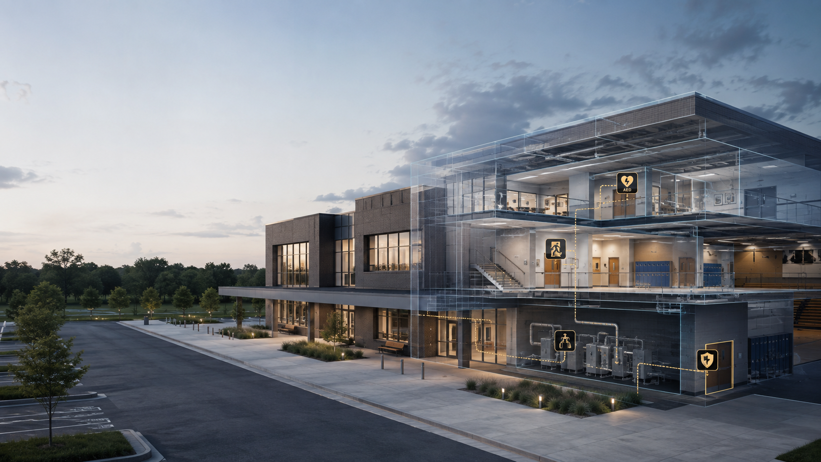
A fully layered, measurable, interactive model of your facility built to support emergency planning, operations, documentation, and training from a single capture.
3D Digital Twin Capture
High-resolution, navigable 3D models of your facility using LiDAR-enabled scanning. Fully interactive, dimensionally accurate, and shareable with any stakeholder.
Emergency Mapping Layer
Every AED, fire extinguisher, exit, egress route, utility shutoff, shelter area, and critical access point identified, tagged, and labeled for fast recognition during an incident.
Training & Exercise Integration
Digital twins built into staff safety training, tabletop exercises, and scenario walkthroughs giving every participant a shared visual reference of the actual building. Onboarding, annual refreshers, and full-scale exercise support, designed by someone who has run them.
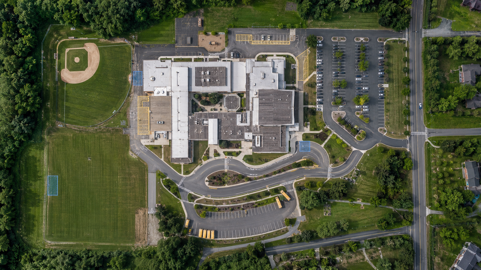
Aerial Orthomosaic Maps
High-resolution overhead site maps for staging, perimeter planning, approach routes, crowd flow, and exterior coordination.
One Scan, Six Uses
Why It Pays For Itself
Built for readiness. Useful to five other departments.
Emergency Operations & Evacuation Planning: Tie plans to actual routes, access points and hazards
Responder Coordination: Give police, fire and EMS a shared facility view
Continuity of Operations: Document infrastructure and recovery dependencies
Facility Management: Reduce repeat visits and improve project scoping
Safety & Staff Training: Orient personnel inside the facility remotely
Asset & Insurance Documentation: Preserve a pre-loss visual record
Who We Serve
Built for facilities where readiness matters most.
Corporate & Campus Security
Support enterprise security operations, executive protection planning, and site risk assessment across multi-building campuses. Give contract security and responding agencies the same picture your team has.
Hospitals & Healthcare
Navigate complex, compartmentalized facilities during medical emergencies, lockdowns, and partial or full evacuation. Supports horizontal and vertical evacuation planning for non-ambulatory patients, emergency management accreditation documentation, and continuity of critical services.
Municipal & County Emergency Management
Build a shared facility library for critical infrastructure, shelters, EOCs, and public buildings. Support pre-incident planning, exercise design, and multi-agency coordination with a common operating picture.
Large Event Venues & Stadiums
Document ingress and egress, crowd flow, staging areas, and interior access routes for coordinated planning with law enforcement, EMS, and event security. Supports mass evacuation and shelter-in-place planning where exit capacity and timing carry real consequences.
Industrial, Manufacturing & Utilities
Built for EHS and safety managers working in complex physical environments. Document confined spaces, energy isolation points, hazardous material storage areas, emergency equipment, and egress routes then use the model for contractor orientation, new-hire safety training, and emergency action plan documentation.
K–12 Schools & Higher Education
Give staff and responders a shared understanding of campus before an incident. Supports active threat preparedness, annual staff safety training and drills, substitute and new-hire orientation, and STOP School Violence Act and state safety grant documentation.

The Process
Facility Scan
We visit and capture your building using LiDAR-enabled 3D scanning and drone aerial imagery. Minimal disruption to daily operations.
Twin Development
We process and build your complete digital twin, a navigable, measurable, shareable 3D model of your entire facility.
Preparedness Layers
We tag and label every critical asset: exits, AEDs, extinguishers, access points, utility shutoffs, and staging areas
Deliver & Deploy
You receive shareable access, floor-plan exports, and a Responder Orientation Brief, all ready for your next exercise or planning session.